Saturday, July 20, 2013

Ahh Vermonters


We began our trip today with a stop at Shred Fest, hosted by New England Federal Credit Union in Williston.  Goodbye old tax records and old computers. Jumping on I 89 south we exited in Barre. A couple of miles south on 302 from Route 14 is Robbin's Nest Bridge which provides private access across Jail Brook.  It is a fairly new bridge built in the early 1960's.

The Robins Nest, Barre

Not very visitor friendly!  Private Vermonters.
On a crossroad between Route 14 and Route 2 is the Coburn Bridge. Apparently the builder Larned Coburn wanted the main road to go near his house so he offered to build the bridge if the route was changed.  Frugal Vermonters took him up on his offer.
Coburn Bridge, East Montpelier

One must always stop for a fast moving snapper in the middle of the road.
I'm pretty sure anyone who saw a snapping turtle at a full trot would not say turtles are slow.  Barely had time to get this shot before he was GONE! Careful, kindhearted Vermonters.

Just off Route 2 Marshfield has created a lovely park.
Marshfield has made the Martin Bridge the center of attention is its little town park.  This bridge was recently restored and the restoration process is on display undercover on the bridge.  Vermont pride.

The Martin Bridge - today's money shot!
We liked the curve of the bridge, the curve of the tree branch and the curve of the brook.

Dan closed the gate!
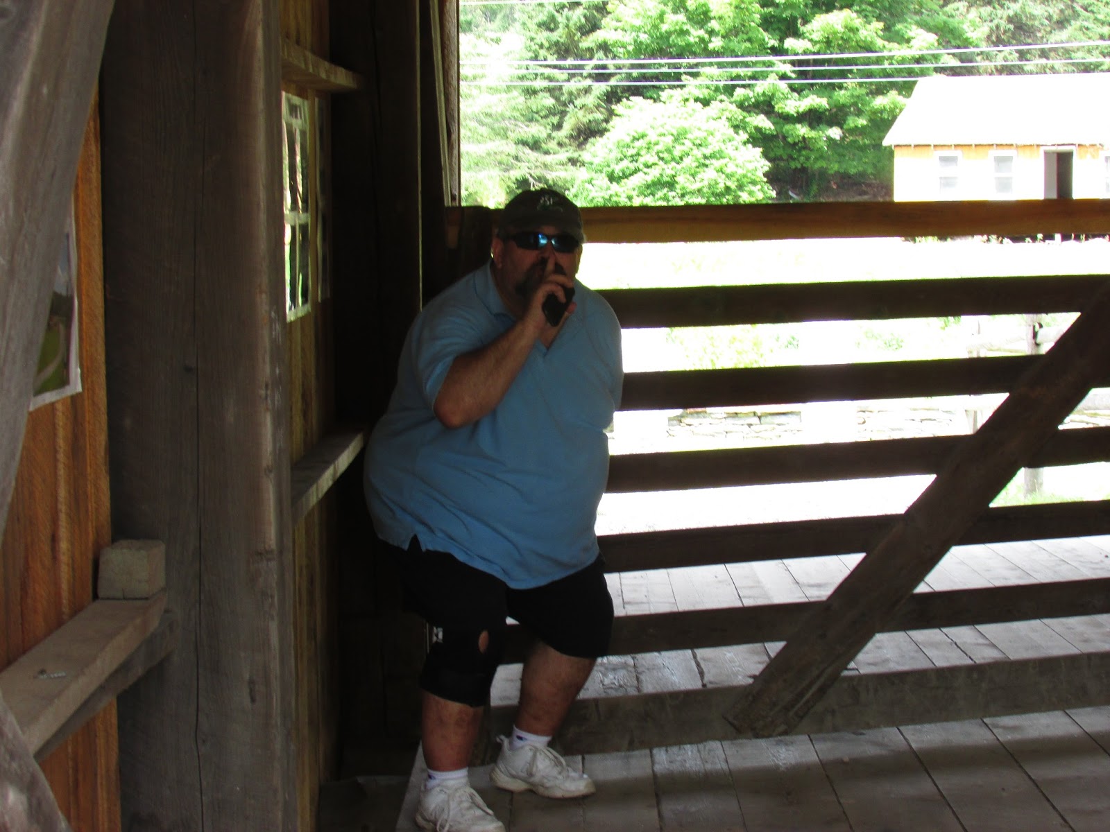
For some reason there is a swinging gate in the middle of this bridge.  Dan just had to give her a try.

Natural art! (Creative Vermonter?)

A covered bridge in Cabot was next on the list.  A potty break was in order and the Cabot Cheese Visitors Center was the perfect place for a stop.  While we were inside buying some sharp cheddar we asked the cashier if she was from Cabot. She was.  We wanted to make sure that there still was a covered bridge in the area.  (It was listed in some of our sources and not on others.) She was happy to let us know it was still there and gave some helpful directions.  Another cashier said, "I drove by it on my way to work this morning." Helpful Vermonters.

Had to include this covered stairway at the Cabot Visitors Center.

Any guesses?  Nothing to do with covered bridges but on our way to one we came across this little building.
Any guesses?
Not sure about the window? Hummm? This is the Walbridge School house which has been moved to this location.
Walbridge School, Cabot 1863

Onto the main attraction on this hilltop in Cabot Plains.


The A. M. Foster Covered Bridge is a replica of the Martin Bridge in Marshfield according to Ed Barna. It was built in 1988 and 1989 by its owner, Richard Walbridge Spaulding. A. M. Foster was the inventor of the Foster sap spout. (Yup I had to find a picture of a Foster sap spout. So here you go.) Inventive Vermonter.


A.M. Foster Bridge, Cabot


Another money shot? Ah Vermont!
We visited with some geocashers from Northfield on top of this hill in Cabot. We got some information about the Chamberlain Bridge that we couldn't find in Northfield.  We must go back.

Lunch time, after a little Cabot cheese snack, was in Danville by Joe's Pond. You can buy your ticket predicting when the ice will go out at Joe's Pond Country Store even in July! I took pictures of the little memorial foot bridge while Dan bought lunch.


West Danville Footbridge

Also called Joe's Pond Memorial Bridge, 1977
The old guy is the "Lone Sentry of Joe's Pond".

Waterlilies at Joe's Pond
Interesting information about Greenbank's Hollow on this historical marker.  If you visit here the town has made a park with historical markers and details about Greenbank's Hollow.  Benjamin Greenbank, businessman Vermonter.

A subsection of Danville.

Greenbanks Hollow Bridge

Sidenote: Dan saw this road sign and said I know that name, Thaddeus Stevens.  Stevens was born in Danville, Vermont but moved to Pennsylvania and became a member of the House of Representatives during the Lincoln years.  (We just watched the Lincoln movie the other day.  Thaddeus Stevens was played by Tommy Lee Jones.)  Stevens pushed Congress to pass a constitutional amendment abolishing slavery.


We climbed out of Greenbanks Hollow and came upon this beautiful setting.  Loved, loved, loved the weather-vane!


We were planning on visiting the bridges in Lyndonville today but we could see a massive storm headed in that direction so we returned home instead.  Lots of great bridges and photos today.  63 bridges so far.  Do you have a favorite? By the way I have changed the setting on the comment section below so you can add a comment without signing in. We'd love to know what you think of the blog or if anyone is reading it.  Enjoy your weekend. Cooler tomorrow I hear.

Nancy


Thursday, July 18, 2013

Quick Trip - 3 local bridges


A nice night for a short ride.  We made our way over to Westford to see the Brown's River Bridge.  Not in use since the 1960's it was moved to dry land in 1987 and then back over the river and restored in 2001.  It is closed to vehicle traffic.  (But we saw evidence that a horse had been over it recently!)
 
Brown's River Bridge - Westford 
The LaRue Bridge is located in Underhill Flats, a subsection of Jericho. It is a stringer bridge that was built in 1982. A stringer bridge has a longitudinal beam or beams that supports the bridge deck. These bridges look very flimsy compared to their for-fathers. This bridge leads to a private residence. It is not on Vermont's official road map but since it is very close to where we live we had to check it out.

 LaRue Bridge - Underhill Flats - Jericho


Riverside Park Bridge in Underhill Flats, Jericho was built in 1972.  It is a stringer bridge.  Located in a park it is a great way to get to the ball fields.  Several children were playing in the water under the bridge on this very hot day!


Riverside Park Bridge, Underhill Flats, Jericho
 Now might be a good time to add some of Dan's bridge research. One of the reasons the bridges were covered was to protect the floor boards and the side supporting timbers.

"Timothy Palmer built the first American covered bridge over the Schuylkill River at 30th Street in Philadelphia in 1800. The investors asked to have it covered in the hopes of extending the life of the bridge, and Palmer reluctantly agreed. The value of the covered bridge design was quickly recognized, as it greatly extended the life of the wooden bridges by protecting the side supporting timbers (not necessarily the floorboards) from exposure to the weather, thus lowering maintenance costs." http://pittsburgh.about.com/cs/pennsylvania/a/covered_bridges.htm

Many people also agree that the bridges were covered because horses did not like to cross open bridges where they could see and hear the often rushing water.  Some of the entrances even look like the opening to a barn.

Covered bridges were known as "kissing bridges" where courting couples might stop and steal a kiss in the relative privacy provided by the bridge. 

Winter weather did pose a problem for drivers of sleighs. Often snow had to be shoveled onto the bridge to provide a smooth ride for metal sleigh runners.  Towns would have to put money in the budget to pay for "snowing" the bridge!

After the bridge viewing this evening we stopped for a quick bite at Joe's Snack Bar, a Jericho landmark.


Happy trails.  Covered bridge count 58.  Stay cool.  Nancy

Sunday, July 14, 2013

Bridge Work - Repaired, Replaced, Restored

The rain has finally stopped.  A perfect day for a drive.  One of our favorite roads when we are headed south on the west side of Vermont is Spear Street. 40 mph, pretty views and just a few stop signs.  Just north of Ferrisburg in the town of Charlotte next to Spear Street is the Quinlan Bridge.  As you can see it is undergoing a huge renovation.  Interesting to see the 'bones' unveiled. It has a Burr arch and multiple kingposts. We will return to this bridge in the fall and check on the building progress.

Quinlan Bridge, Charlotte
Back tracking a little way and taking a side road (I was driving and Dan was navigating) we located the sweet little Sequin Bridge.

Sequin Bridge, Charlotte
Did you know that in the old days covered bridges often served as a place to house your mailbox. Apparently it still is a good idea today!


Onward to Swamp Road on the Cornwall Salisbury border.  We ran into a bit of a situation here. Notice the hinge on the Road Closed High Water sign it's hinged.  My guess ... a frequent occurrence. How bad can it be? We always have to check.

Swamp Road
Probably not a good idea. But we gave it our best shot. 
So close yet so far!

Cheryl said there is a law against it!!!
Backed up quite a way to get to a spot where we could turn around!  Pretty sure the bridge was just out of sight! It was kind of strange that there is a forest in this swamp.

Next stop the other railroad bridge in Vermont.  The East Shoreham Railroad Bridge is no longer in use.
East Shoreham Railroad Bridge
We reached it by parking in a VT Fish and Wildlife Access Area.  We had to hike in a quarter mile or so.  We got attacked by mosquitoes the minute we stepped on the bridge! It was pretty swampy area.


When we left the Railroad bridge we decided to find another way to get to the Cornwall Salisbury Bridge.
Finally we arrived at the other end of Swamp Road called Creek Road and found the Cornwall Salisbury Bridge.  Nicely restored. Boy was the Otter Creek high!  Ran into a sheriff (not literally) on the other side of this bridge. I think he was monitoring the water level. We laughed at the three people on some kind of an atv (an amphibious 6 by 6) slogging through the deep water.  The sheriff was kind of interested in what they were doing as well! We didn't hang around to see what happened.

Cornwall Salisbury Bridge

Otter Creek (Flood)
Look at the size of those wooden pegs!

Bridge frame.
If you look closely at the photo above you can see the water on the side of the road from the flooding.

Lunch time at the Cattails Restaurant on Route 7 just north of Brandon. We have been by this place many times.  Perfect time to stop in for a bite.  We ate out on the screened porch.


Lunch was very good.
A short ride later we approached the Sanderson Bridge, the only covered bridge in Brandon.

Sanderson Bridge in Brandon


Hammond Covered Bridge, Pittsford
This bridge is massive. It is closed to vehicle traffic but a walking path winds through it (guiding you over the sturdy parts!)  Thank goodness for Yankee ingenuity. The Hammond Bridge was washed a mile downstream during the great flood of 1927. A local engineer won a bid to move the bridge back into place. While the river was still flooded (the wheels of government must have turned more quickly back then) Mr. Tennien placed barrels under the bridge filled with air and used horses to float the bridge back upstream! They filled the barrels with water to lower the bridge back into position.

Depot Bridge, Pittsford

It was a leaning!
I read that leaning is often a design flaw of town lattice style covered bridges that are located broadside to prevailing winds.

Can you tell the next two bridges were designed and built by a man (Abraham Owen) and his apprentice (Nicholas Powers)?  The gabled ends are unique.

Cooley Bridge, Pittsford
Gorham Bridge, Pittsford
I love the lattice work showing through the side of the Gorham bridge. I just have to mention that we walked over many of these bridges and they really have a distinctive smell.  Old, woody, moist, solid.


Another frame.
After a brief side trip to the Diamond Rum Mall in Rutland (wow, at least a third of the stores were vacant and there were hardly any shoppers on a Saturday afternoon) we headed across Vermont on Route 4.  Our first stop was the Lincoln Bridge.
Lincoln Bridge, Woodstock

Under the Lincoln Bridge.  The water wasn't too high here.


Apparently some of the locals were not happy about the green fiberglass panels that were used to roof the bridge during restoration in 1988.  According to Ed Barna, the panels were installed to lighten the inside of the bridge and prevent accidents.

The Middle Bridge in Woodstock is just beautiful.  It's a new bridge (relatively speaking)  built in the old style in 1969. We had fun visiting with a couple who had been married in a covered bridge in Dover-Foxcroft, Maine. They said they had visited most of the covered bridges in Vermont.

Middle Bridge, Woodstock
A wild goose chase later looking for the Frank Lewis bridge (which is gone) we found the Smith Bridge in South Pomfret.  This open town lattice bridge is private and pretty.

Smith Bridge, Pomfret

Matchy, matchy.
The horses were in a field by the Billings Farm and Museum.

The Taftsville Bridge, the third oldest covered bridge in Vermont, is undergoing a major restoration.  It was built in 1836. It is 20 feet wide and 189 feet long. Yup, we drove down the "residents only" road to get close enough to photograph this bridge.  Some other covered bridge enthusiasts were down there as well.  I am so happy that even in tough economic times Vermont's historic covered bridges receive the attention and maintenance they need.  With the exception of the Hammond Bridge all 14 of the covered bridges we saw today are being well cared for!
Taftsville Bridge

Side view

What a turkey.
Our final bridge of the day was the brand new Quechee Covered Bridge.  Amazing what can happen in just a short period of time when catastrophe strikes.  The Quechee Bridge was nearly destroyed when Tropical Storm Irene ravaged Vermont in 2011.  The town, state, and federal governments all worked together to completely replace the bridge in just over a year!

Brand new Quechee Bridge!

I had to keep an eye on Dan here.  He was out walking a part of a dam back near the Taftsville bridge.

 
Dan did some research on covered bridges this week but since this post got really long I will add his information next time.

As I was working on this blog post I heard a commotion out in front of my house.  A bunch of cars, a large white van. Voices.  And finally the sound only a hot air balloon can make.  Good pilot. Good pilot. Holy crap! 

Photo op from my front porch.  Kind of low!!! Pretty close to the river!

Damn close to the trees!!!

Gained altitude and went in search of a better landing site!
Finally safely down.  Yup, I chased it over onto Swamp Road.

What a perfect ending to a fantastic summer day in Vermont!  Happy trails.  Bridge total so far: 55. 

Nancy